


Introduction
In late summer of 1507, a Douglas-fir stood in what is now Orting, Washington, with its latewood ring not yet finished for the year. By the next morning it was buried alive, encased upright in six metres of concrete-grey mud that had travelled more than 60 kilometres down the Puyallup River in under an hour. The tree did not topple. It died standing, with bark still on, while the slurry that drowned it cooled into something close to poured cement.
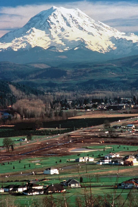
That tree was killed by the Electron Mudflow, a 260-million-cubic-metre lahar that ran more than 60 kilometres down the Puyallup River drainage from Mount Rainier in late summer 1507, the largest known Mount Rainier lahar of the past millennium, and the only one with no detectable eruptive trigger.
Five centuries later, geologist Patrick Pringle was driving past a construction site in Orting when he saw a fresh excavation with an enormous stump sitting in it. He stopped and asked the crew for a sample. Over the next decade, he and a rotation of volunteers and high-school students pulled wood from dozens of similar stumps unearthed by the town’s growth. Twenty-one of those Douglas firs eventually went to dendrochronologist Bryan Black, who matched their rings against a master tree-ring chronology from Vancouver Island and pinned the year of death to 1507 CE, latewood forming, late summer.
That date matters because nobody was watching. There was no eruption. No earthquake swarm. No precursor that anyone has yet been able to find in the geologic record. A chunk of Mount Rainier about a tenth the volume of the 1980 Mount St. Helens debris avalanche simply detached from the upper west flank and ran. Today about 90,000 people live on top of where it stopped.
A Mountainside Slid Off Mount Rainier in the Summer of 1507
The paper that nailed down the date published online in Geology in December 2025 and in print in the February 2026 issue (vol. 54, no. 2, p. 189–192): Bryan Black, Patrick Pringle, and James Vallance, “Forest-floor burial in 1507 by the largest Mount Rainier lahar of the past millennium.” They wiggle-matched seven radiocarbon ages from buried, bark-bearing Douglas-fir trees and bracketed the event between 1477 and 1522 CE with 99.7 percent certainty. Then they crossdated 86 ring-width series from 21 trees, building a 475-year master chronology that locked onto regional records and produced a single calendar year for the kill: 1507. Latewood in the final ring of the bark-bearing trees was beginning to form, which in low-elevation Pacific Northwest Douglas-fir means late summer.
The Electron Mudflow’s volume is roughly 260 million cubic metres, a number first estimated by Dwight Crandell in 1971 and refined by Kevin Scott, James Vallance, and Patrick Pringle in U.S. Geological Survey Professional Paper 1547 in 1995. That is about a quarter of a cubic kilometre of rock, mud, water, and shredded forest. It travelled more than 60 kilometres down the Puyallup River drainage. At Orting, deposits sit six metres deep over a forest floor that was still living when the slurry hit. Pringle’s stumps, embedded in construction-site spoil piles all through the 1990s, were the smoking gun that the lahar had killed an upright old-growth stand and buried it intact.
What did not happen is as important as what did. James Vallance, Kevin Scott, and Patrick Pringle searched the ash and lahar stratigraphy for any sign of an eruption around 1507 and found none. Bryan Black’s group ruled out the 1700 Cascadia subduction-zone earthquake as a trigger because it postdates the trees’ death by nearly two centuries. Seth Moran, the U.S. Geological Survey volcano seismologist at the Cascades Volcano Observatory, summarised the implication at the Seismological Society of America’s 2024 Annual Meeting in Anchorage: “All of the lahars that have come down into the Puget Lowlands in the last 6,000 years have started with an eruption except for the most recent one around 1507.” A piece of the mountain came off on its own.
How a Volcano That Did Not Erupt Killed a Forest
The Hydrothermal Plumbing of the West Flank
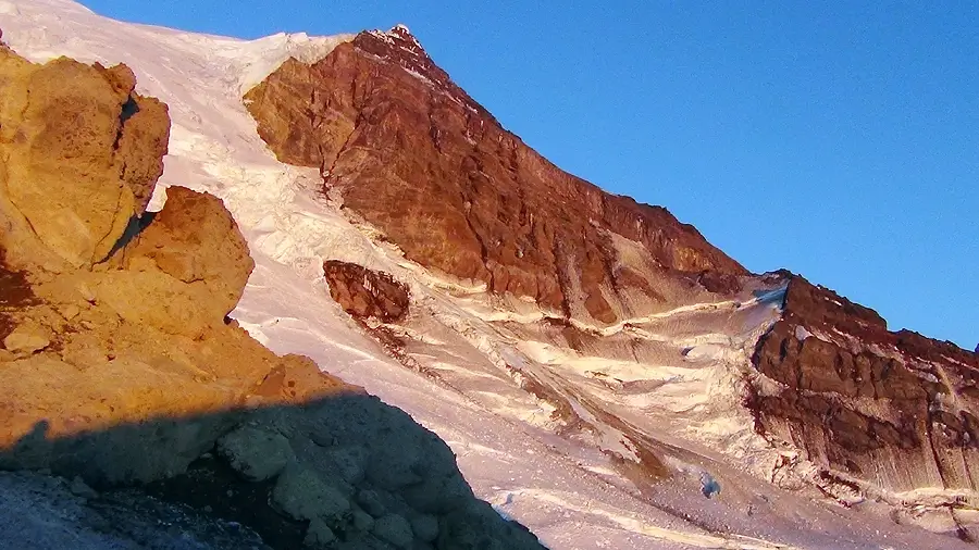
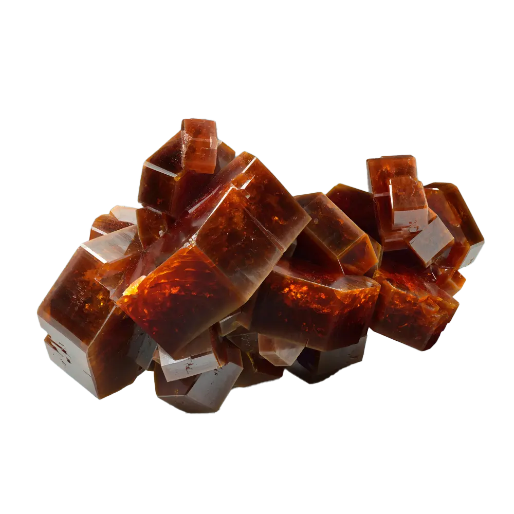
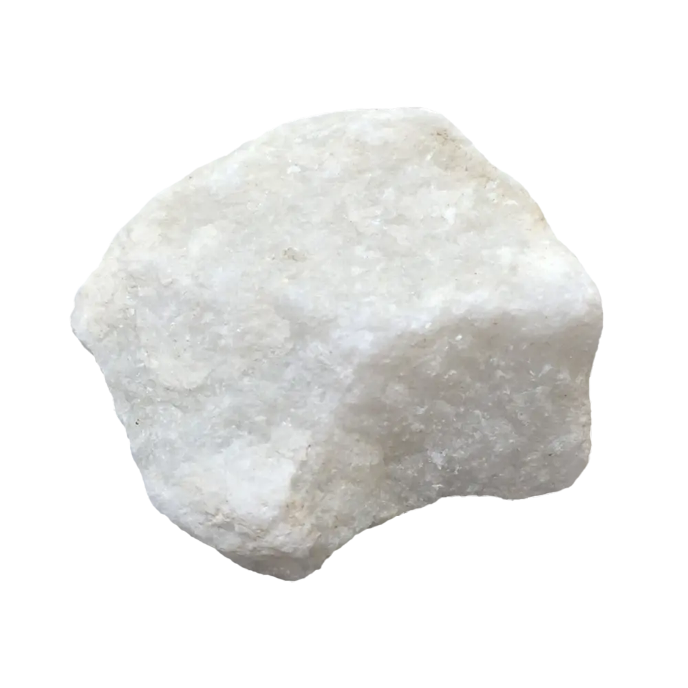
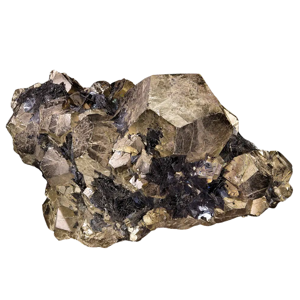
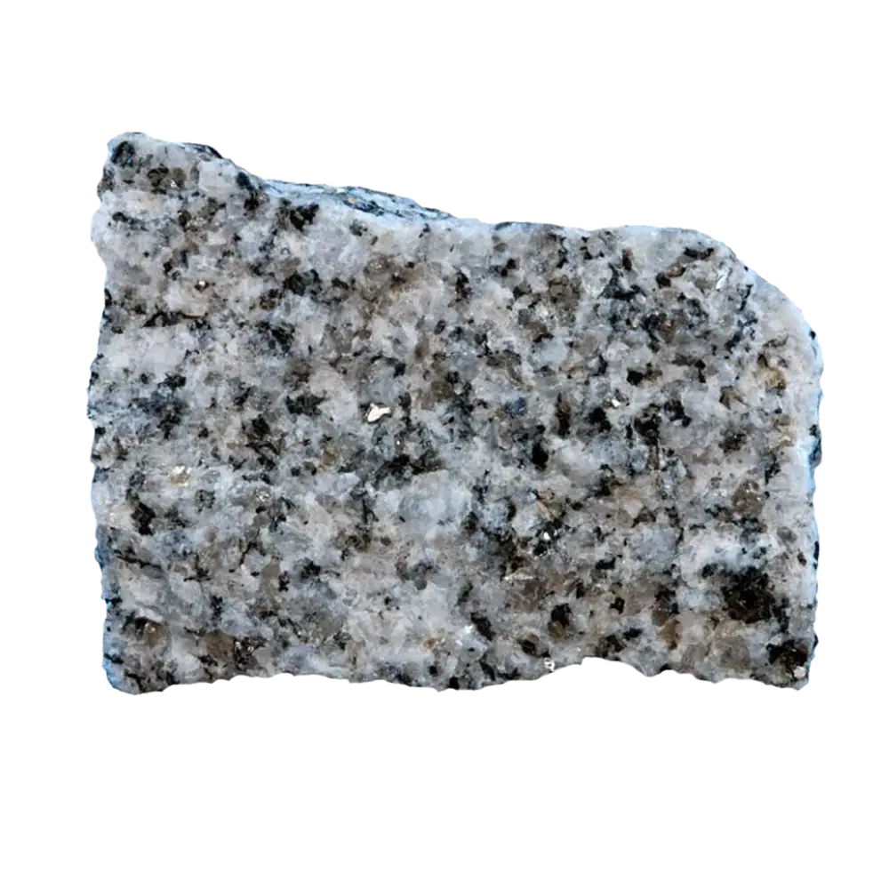
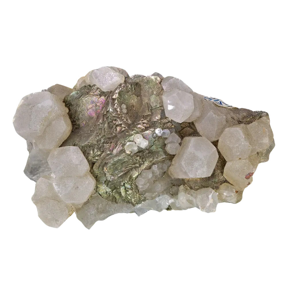
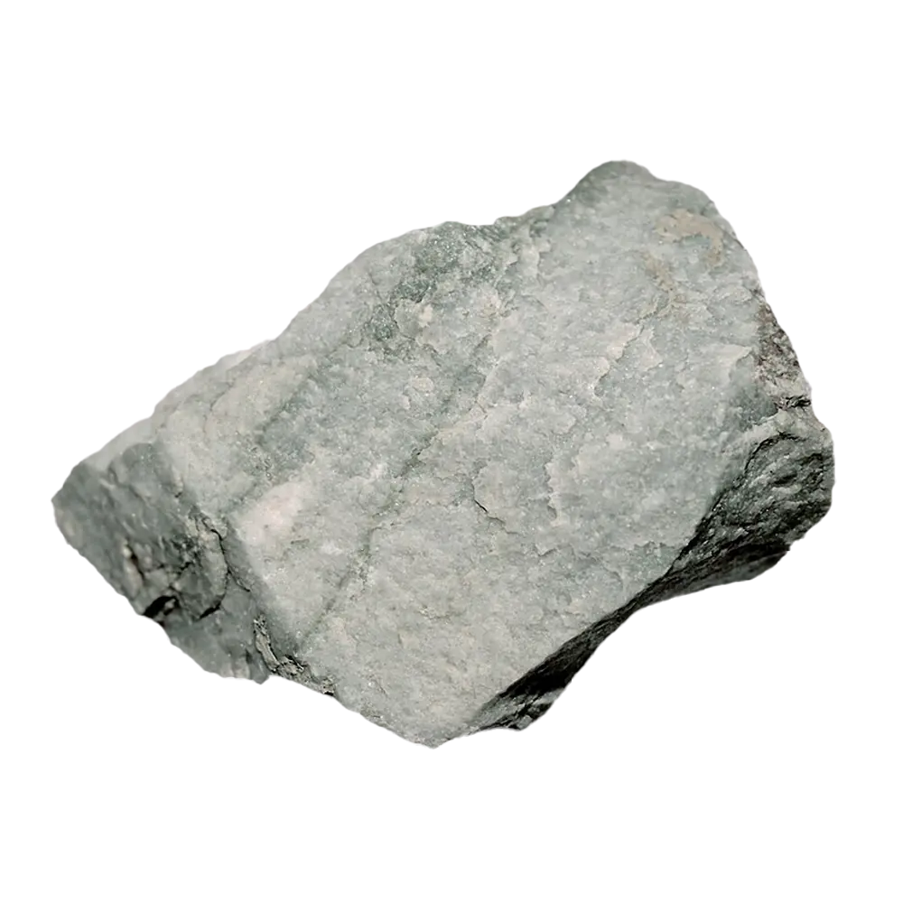
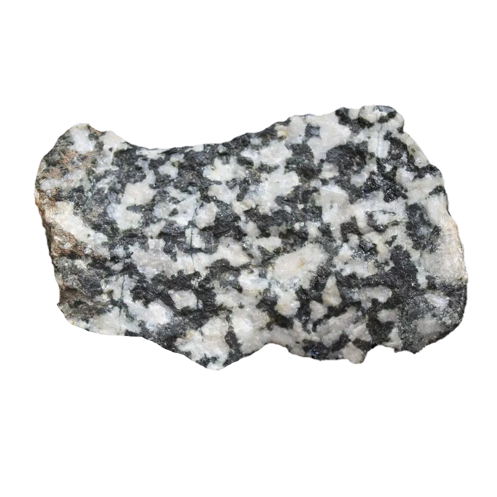
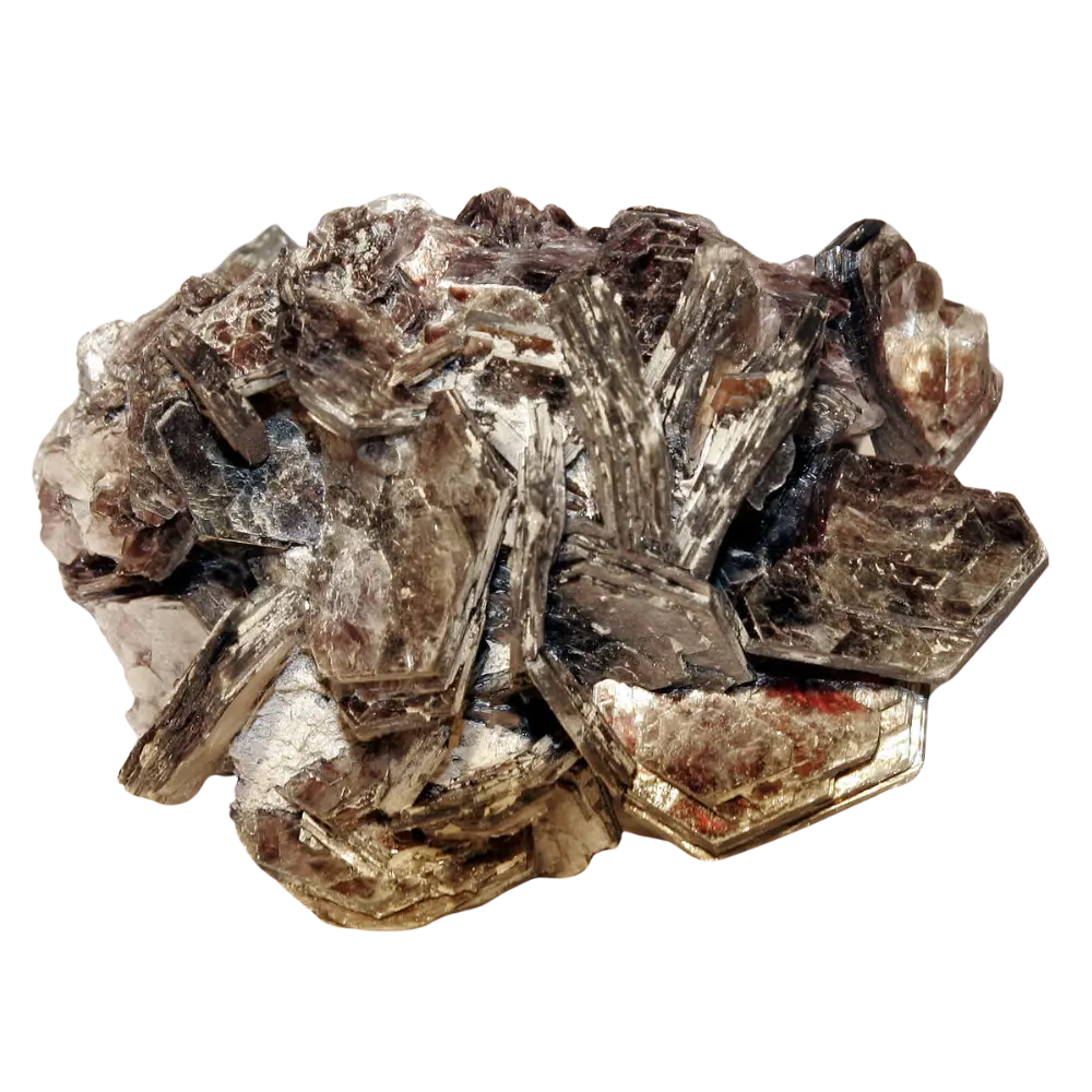
The west side of Mount Rainier looks solid from the Nisqually entrance. It is not. David John, Thomas Sisson, George Breit, Robert Rye, and James Vallance documented in a 2008 paper in the Journal of Volcanology and Geothermal Research that the upper west flank of the volcano is veined with rock that has been chemically gutted by 500,000 years of episodic magmatic-hydrothermal fluid flow. Hot, acidic fluids broke down primary minerals in the andesite and replaced them with clay-rich assemblages, dominantly smectite with pyrite in the rock that produced the Electron, with deeper magmatic-hydrothermal alteration on parts of the edifice producing kaolinite, alunite, and residual quartz. The mineralogy looks tidy in thin section. The mechanical consequence is that whole sectors of the edifice are essentially wet clay wrapped around an ice-and-snow load.
The geometry of that altered rock had been guessed at from surface mapping for decades, but Carol Finn, Thomas Sisson, and Maryla Deszcz-Pan settled it from the air in 2001. Their helicopter-borne electromagnetic and magnetic survey, published in Nature volume 409, pages 600 to 603, showed that “appreciable thicknesses of mostly buried hydrothermally altered rock lie mainly in the upper west flank of Mount Rainier.” Some of the altered bodies are more than 500 metres thick. The Sunset Amphitheater and the Tahoma Glacier headwall stand directly above them.
Mark Reid, Thomas Sisson, and Dianne Brien took the next step that same year in Geology, modelling the three-dimensional gravitational stability of the edifice. Their conclusion is brutal in its specificity: collapse of more than 0.1 cubic kilometres is “promoted by voluminous, weak, hydrothermally altered rock situated high on steep slopes,” and those conditions “exist only on Mount Rainier’s upper west slope.” Other parts of the volcano hold weak rock too, but the geometry is wrong for runaway failure. The west flank is geometrically primed.
Add a saturated winter snowpack, an unusually warm summer, a small earthquake or just creep on an internal fracture, and the calculus changes. Once a slab of clay-rich rock the size of the 1507 source area unconfines itself and starts moving, it does not slide as a coherent block for long. It liquefies. The clay matrix mixes with snow, ice melt, and groundwater, and what reaches the valley floor moves like wet cement at highway speed.
The Osceola Precedent
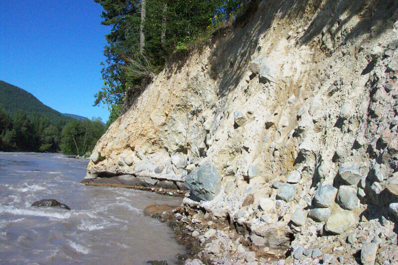
If the Electron Mudflow shows what the volcano can do without erupting, the Osceola Mudflow shows what it can do with an eruption. In 1997, James Vallance and Kevin Scott published the definitive account in the GSA Bulletin: 3.8 cubic kilometres of water-saturated avalanche, triggered by phreatomagmatic eruptions at the summit about 5,600 years ago, the upper kilometre of the volcano shearing off to the northeast. The lahar filled valleys of the White River system to depths greater than 100 metres, ran more than 120 kilometres, covered more than 200 square kilometres of the Puget Sound lowland, and reached salt water at what are now the Duwamish and Puyallup embayments of Puget Sound, between modern Seattle and Tacoma. Forty to fifty kilometres downstream the peak discharge was about 2.5 × 10⁶ cubic metres per second at a velocity of about 19 metres per second. That is roughly a thousand Niagara Falls, moving at the speed of a sprinting horse, made of mud.
The communities that now sit on Osceola deposits read like a Pierce and King County address book: Orting, Buckley, Sumner, Puyallup, Enumclaw, Auburn. Soils that grow daffodils and strawberries are debris-flow deposits. Carolyn Driedger, the USGS hydrologist who has run public outreach for the Cascades Volcano Observatory for three decades, put it bluntly to South Sound Magazine: “You look at the Puyallup River Valley, and in some ways, it’s more suited for daffodils than two-by-fours.”
The Osceola is also why scientists are more worried about the west flank than the northeast. Driedger has noted that the Osceola event stripped most of the hydrothermally altered rock from the northeast side of the volcano. The mountain’s remaining store of weak, clay-rich rock now sits where Finn’s aerogeophysics and Reid’s stability modelling both point: above the Puyallup and the Nisqually.
What Modern Modeling Shows
In April 2022 the USGS released Open-File Report 2021–1118, “Modeling the Dynamics of Lahars that Originate as Landslides on the West Side of Mount Rainier, Washington,” by David George, Richard Iverson, and Charles Cannon. The report uses D-Claw, a two-phase depth-averaged landslide and debris-flow model developed at the USGS Cascades Volcano Observatory and the Oregon Water Science Center over roughly a decade of large-scale flume experiments. D-Claw treats granular solids and pore fluid as a coupled mixture, which is what a lahar actually is.
George, Iverson, and Cannon ran simulations for two source volumes: 260 million cubic metres, matching the Electron Mudflow, and 52 million cubic metres, matching the 2010 Mount Meager collapse in British Columbia. The source areas were the Sunset Amphitheater and the Tahoma Glacier headwall. They modelled each volume in a low-mobility (denser, rocky) and high-mobility (clay-rich) version, bracketing the physics of what could come off the mountain.
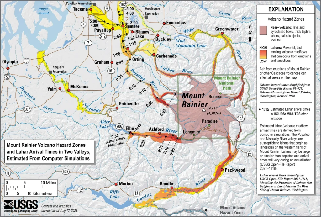
The numbers are the part that emergency managers in Pierce County have framed on their office walls. A worst-case 260-million-cubic-metre, high-mobility lahar reaches small communities about 25 kilometres downstream in 10 to 20 minutes. Larger communities about 50 kilometres downstream are reached within 50 to 60 minutes. The lahar front passing through Orting is roughly four metres tall, high enough to swallow a one-storey house, and is still moving fast enough that a person on foot cannot outrun it on the valley floor. In the Nisqually valley the same simulation pushes flows past Ashford, National, and toward Eatonville within the first hour. The model does not pretend to predict when. It is a constraint on what.
The simulations also clarify what the warning window actually is. Driedger has said publicly that Orting may have as little as 40 minutes from siren activation to lahar arrival. George, Iverson, and Cannon’s D-Claw run with the Tahoma Glacier headwall source pushes that toward the shorter end, especially for the highest-mobility cases. Walking to high ground is possible. Driving may not be.
90,000 People Live on the Runout Path
The population figure the USGS now uses comes from Angela Diefenbach, Nathan Wood, and John Ewert in the Journal of Applied Volcanology, 2015, article 4. Their analysis of five Washington volcanoes used 2010-vintage census, employment, and land-cover data; the USGS reference page that summarises George, Iverson, and Cannon’s 2022 report rounds the figure for Mount Rainier specifically to “over 90,000 people live in Mount Rainier lahar hazard zones, along with over 50,000 employees working in about 3,800 businesses.” Those numbers are conservative now, fifteen years after the underlying census; population in the Puyallup and Nisqually corridors has grown.
The composition of the exposure matters. Wood and Soulard’s earlier 2009 analysis (USGS Scientific Investigations Report 2009-5211) found that some communities have absolute numbers in harm’s way (Puyallup tops the list), while others have nearly their entire population in the zone (Orting, Carbonado, Fife, Sumner). Critical infrastructure runs straight through the runout path: Interstate 5 along the Puyallup delta at Fife and Tacoma, the BNSF main line between Seattle and Portland, the Port of Tacoma, Puget Sound Energy’s Electron hydroelectric facility on the Puyallup, and dozens of bridges. A modern Electron-scale event would sever the principal rail and road links between Seattle and Portland, foul the federal navigation channel at Tacoma’s port with mud, and bury much of one Washington congressional district under wet, glassy ash-grey debris.
The forensic detail nobody told the developers in the 1990s is that they were already building on the previous version of the same event. As Orting expanded, foundation excavations routinely turned up enormous Douglas-fir stumps, all roughly the same age, all killed at the same moment. Those were the trees that died standing in 1507. Many of them ended up in Patrick Pringle’s lab.
The Lahar Warning System, 27 Years Later
The first Rainier Lahar Detection System came online in 1998, after a multi-agency effort begun in 1995 between Pierce County Emergency Management, the USGS Cascades Volcano Observatory, the Washington State Emergency Management Division, and others. The original 1998 system used acoustic flow monitors on the Puyallup and Carbon Rivers, five sites per drainage, small geophones embedded in the streambed that listen for the distinctive low-frequency vibration of a slurry of rock moving past. The hardware was built around 1990s telemetry. As Seth Moran told the Seismological Society of America’s 2024 meeting, the original system “was designed to have low bandwidth and low power requirements due to the limitations of 1990s-era technology, and that meant that data was only transmitted every two minutes. That meant there was at least four minutes of delay between when the lahar had gone past and when the system said, ‘hey, a lahar has gone past.'”
Pierce County and the USGS began a multi-year upgrade in 2016. The current architecture is documented in Rebecca Kramer, Weston Thelen, Alex Iezzi, Seth Moran, and Benjamin Pauk’s 2024 paper in Seismological Research Letters, “Recent expansion of the Cascades Volcano Observatory geophysical network at Mount Rainier for improved volcano and lahar monitoring.” Their abstract: “Since 2016, CVO has worked to upgrade the existing RLDS and to expand its capabilities into other drainages around Mount Rainier. This expansion includes installation of 25 new broadband seismic stations with many including infrasound along high-risk drainages, as well as support for equipment upgrades at existing PNSN and CVO volcano monitoring sites. All stations transmit continuous, near-real-time data with dramatically improved spatial coverage for volcano monitoring and lahar hazard mitigation compared to the previous system.”
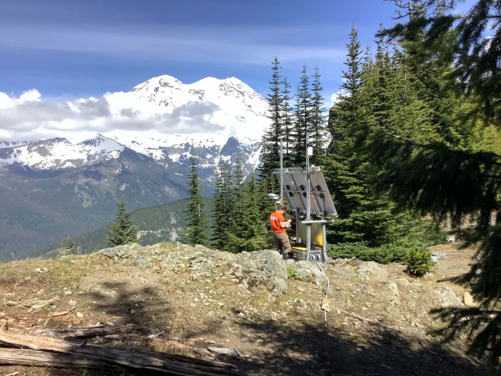
The new network couples broadband seismometers with infrasound arrays, tripwires, webcams, and laser range finders that the team is testing as replacements for the older tripwire designs. Station PR05, in the Puyallup drainage, is one of the upgraded sites; Rebecca Kramer is the Cascades Volcano Observatory geophysicist who serviced it during a 2020 site visit to upgrade power and add infrasound. The Seismological Society of America’s summary of Moran’s talk describes the result: a robust lahar detection system operating in real time, with detection information feeding into two 24/7 emergency operations centers, one run by Washington State and one run by Pierce County.
Downstream, the warning side is 42 All-Hazard Alert Broadcast sirens scattered through the Puyallup and Nisqually River valleys from Orting to the Port of Tacoma, operated by Pierce County Emergency Management. The sirens are tested at noon on the first Monday of every month with a Westminster chime and a bilingual voice announcement. During a real event they wail until their batteries die.
The other side of preparedness is rehearsal. On 21 March 2024, more than 45,000 students in the Puyallup, Sumner-Bonney Lake, Orting, White River, and Carbonado school districts participated in the largest lahar evacuation drill ever staged. About 15,000 walked up to two miles each way to designated locations outside the mapped lahar zone, while around 30,000 more students at schools above the valley floor practiced shelter-in-place. The next regional drill is scheduled for 23 April 2026, expanding to include Buckley, Wilkeson, and the East Pierce Interlocal Coalition partners.
The Armero Lesson
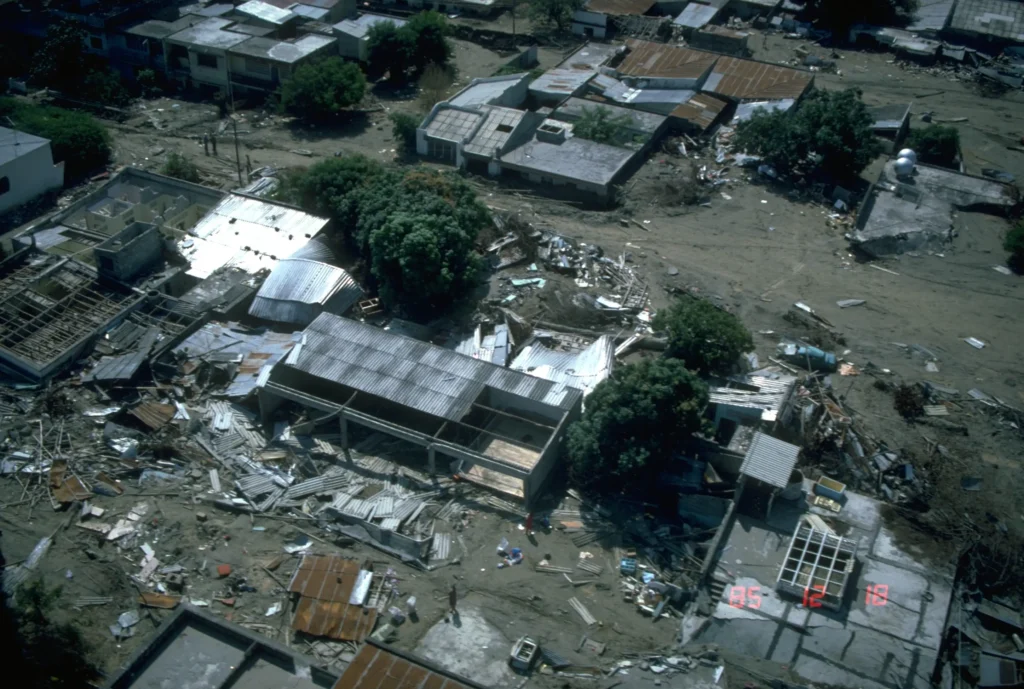
At 9:08 p.m. local time on 13 November 1985, a small plinian eruption began at the summit of Nevado del Ruiz in Colombia. The eruption itself was modest, a Volcanic Explosivity Index 3 event, an unimpressive entry in the historical record of Andean volcanism. What it did to the ice cap that crowns the 5,321-metre summit was not modest. Tom Pierson, Richard Janda, Jean-Claude Thouret, and Carlos Borrero reconstructed the sequence in the Journal of Volcanology and Geothermal Research volume 41 in 1990: hot pyroclastic surges and flows transferred heat to about 10 square kilometres of the summit snowpack, roughly half the ice cap, generating meltwater that funnelled into the headwaters of four rivers. Those flows bulked up with sediment as they descended, transformed into full lahars, and hit the town of Armero, 74 kilometres downstream, about two and a half hours later. More than 23,000 people died there in a single night.
Armero is the analogue the Cascades Volcano Observatory keeps in front of emergency managers because nearly every variable matches Mount Rainier. An ice-capped andesite stratovolcano with a hydrothermally altered upper edifice, steep radial drainages, population centres 50 to 80 kilometres downstream, and a warning window measured in hours rather than days. Nevado del Ruiz had a hazard map that showed Armero in the lahar zone. It was not acted on in time. Barry Voight’s forensic analysis, published in the Journal of Volcanology and Geothermal Research volume 42 in 1990, concluded that the catastrophe “was not caused by technological ineffectiveness or defectiveness, nor by an overwhelming eruption, or by an improbable run of bad luck, but rather by cumulative human error, by misjudgment, indecision and bureaucratic shortsightedness.”
The USGS Volcano Disaster Assistance Program, co-funded by the USGS and the U.S. Agency for International Development’s Office of U.S. Foreign Disaster Assistance, was established in 1986 in direct response to Armero. It now embeds American volcanologists in foreign monitoring agencies during eruptive crises. The Mount Rainier Lahar Detection System is the domestic mirror of the same lesson.
What Happens Next
Sisson and Vallance’s 2009 paper in the Bulletin of Volcanology documented 10 to 12 eruptions of Mount Rainier in the last 2,600 years, more than previously recognised, and tied most of them to far-traveled lahars. Add the Electron Mudflow, which had no eruption at all, and the long-term record gives a rough average. Driedger and Scott’s USGS Fact Sheet 2008-3062, “Living Safely with a Volcano in Your Backyard,” puts it this way: “During the past several thousand years large lahars have reached the Puget Sound lowland on average at least once every 500 to 1,000 years,” with “roughly a 1-in-10 chance of a lahar reaching the Puget Sound lowland during an average human lifespan.” Carolyn Driedger’s framing for laypeople is that volcanoes are like sleeping animals: they sleep, they wake up occasionally, sometimes they turn over, and sometimes they fully wake up.
The west flank still hosts the same buried, hydrothermally altered rock body that Carol Finn and her colleagues imaged in 2001. The Sunset Amphitheater and the Tahoma Glacier headwall still stand above it, holding ice. The slope-stability calculations Mark Reid, Thomas Sisson, and Dianne Brien published the same year still say that the geometrically dangerous part of the mountain is precisely the part that failed in 1507.
If you live in a lahar zone, the practical advice has not changed in decades:
If you live in a Mount Rainier lahar zone:
- Know your nearest high ground and the fastest route to it on foot.
- Sign up for Pierce County ALERT or the Washington Emergency Management Division’s notifications.
- Keep a NOAA Weather Radio that can wake on alert tones.
- If you hear an AHAB siren wailing continuously (not the monthly Westminster chime), evacuate uphill immediately, do not wait for confirmation, do not try to retrieve a vehicle if it slows you down.
- If you feel sustained ground shaking or hear a low, building roar from the direction of the mountain, treat it as a lahar and move to high ground without waiting for sirens.
- Practice the walk with your family at least once a year. Schools in the valley already do.
At noon on the first Monday of June 2026, the Westminster chime will sound from 42 sirens between Orting and the Port of Tacoma. On 23 April 2026, around 50,000 students will walk their evacuation routes for the regional drill. And on a wind-scoured outcrop somewhere on Mount Rainier’s west flank, station PR05’s broadband seismometer will continue to write a continuous trace of ground motion to the Cascades Volcano Observatory in Vancouver, Washington, quiet for now, sampled at hundreds of times per second, waiting.